|
| |||||||||||||||||||||||||||||||||||||||||||||||||||||||||||||||||||||||||||||||||||||||||||||||||||||||||||||||||||||||||
| |||||||||||||||||||||||||||||||||||||||||||||||||||||||||||||||||||||||||||||||||||||||||||||||||||||||||||||||||||||||||
 |

Wall Clouds vs. Shelf Clouds
Wall Clouds:*Suggest inflow/updraft*Maintain position with respect to rain *Slope upward away from precip. area 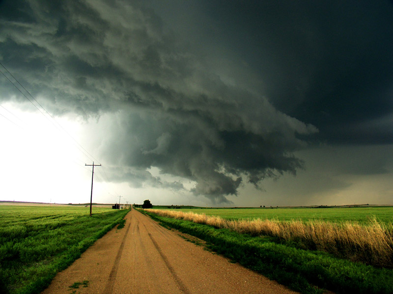 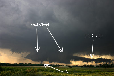 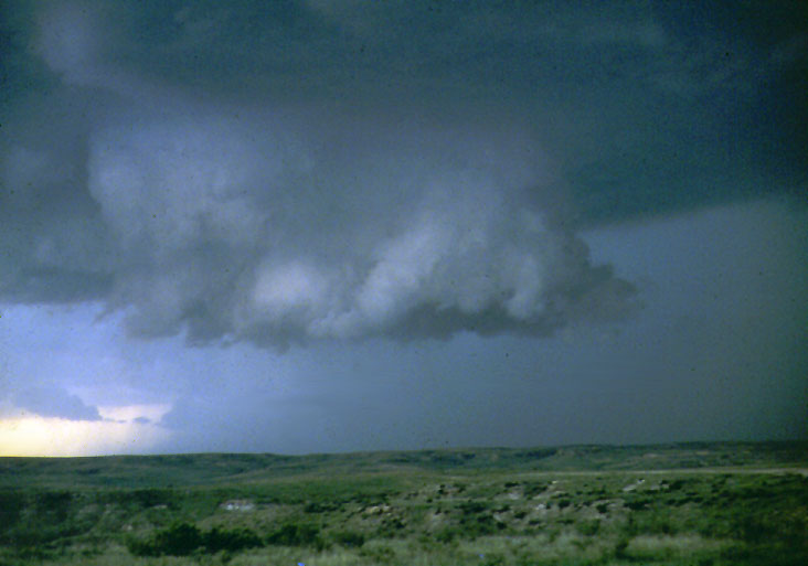 |
Shelf Clouds:*Suggest downdraft/outflow*Move away from rain *Slope downward away from precip. area 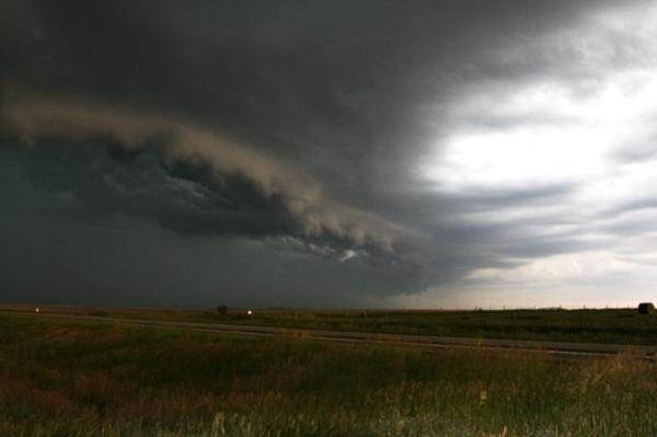 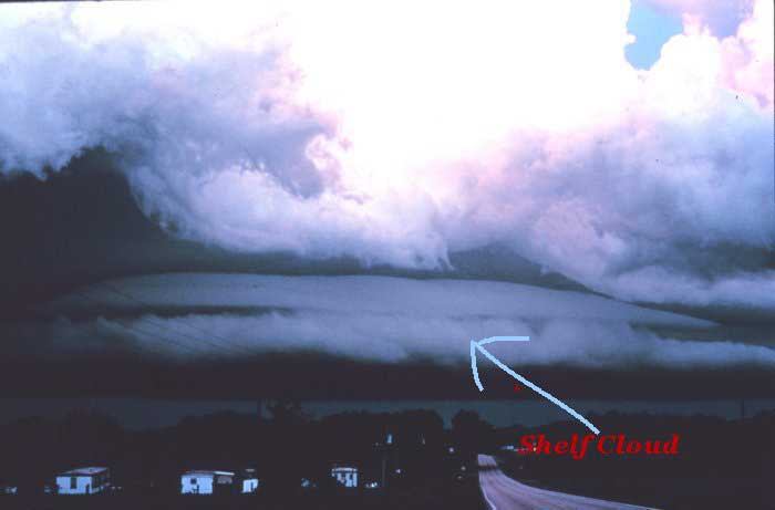 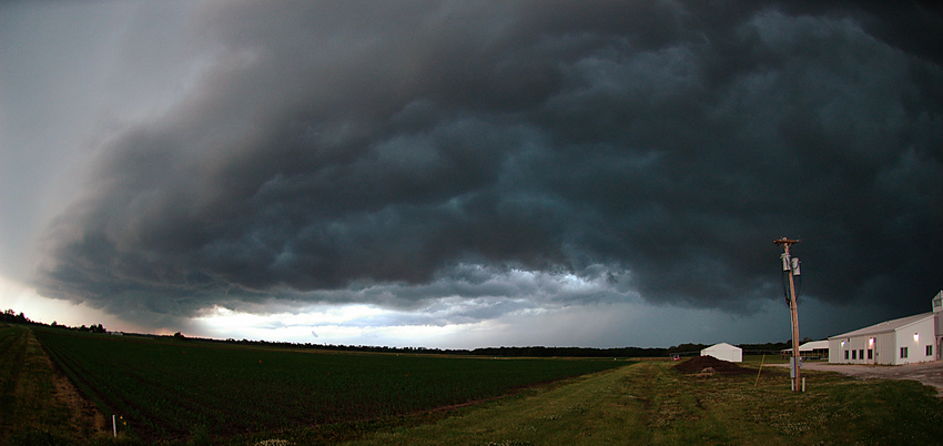 |
|
Only a few of the lowerings that will be seen when spotting will be legitimate
wall clouds, and only a few of these wall clouds will actually produce
tornadoes. Once a wall cloud has been positively identified, the next challenge
will be to determine its tornado potential. There are four main characteristics
usually observed with a tornadic wall cloud. * First, the wall cloud will be persistent. It may change its shape, but it will be there for 10-20 minutes before the tornado appears. * Second, the wall cloud will exhibit PERSISTENT rotation. Sometimes the rotation will be very visible and violent before the tornado develops. * Third, strong surface winds will blow in toward the wall cloud from the east or south-east (inflow). Usually surface winds of 25-35 miles an hour are observed near tornadic wall clouds. * Fourth, the wall cloud will exhibit evidence of rapid vertical motion. Small cloud elements in or near the wall cloud will quickly rise up into the rain-free base. Not all tornadic wall clouds will have these characteristics (and some tornadoes do not form from wall clouds), but these four characteristics are good rules of thumb to follow. |
So remember... ROTATION ROTATION ROTATION!
Back to The Spotters Page


